From Assessment to Takeoff
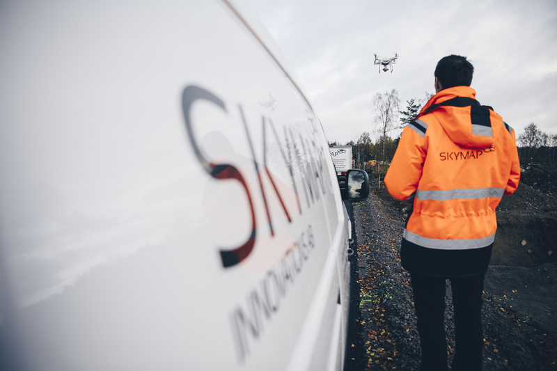
Skymap seeks to innovate the land surveying industry by making use of the latest hardware and software developments. Using modern technologies such as 3D-scanning drones, 3D-visualisation tools, and cloud storage services, Skymap offers increased accuracy, higher delivery reliability, and lower land surveying costs.
To begin with, Skymap asked us to perform a quality assessment of their prototype via our DueDive service. As some key aspects were still missing, we came on board and finished up the development. Under a strict deadline we delivered the technology for inputting, editing, and visualising images, as well as building the user management platform, documentation tools, and integrations with Fortnox.
We were then hired to build their first product version. As a lot of various prototype components had previously been assembled in an unstable manner, we stepped in and completely rewrote the code, forming one stable, coherent, and complete platform that is hosted on Amazon's serverless architecture Lambda. By keeping the API but rewriting the underlying implementation we ensured Skymap is maintainable and scalable for many years to come.